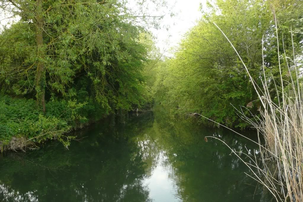
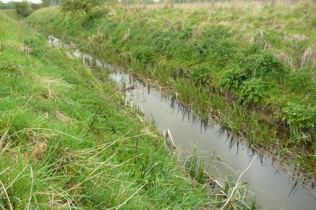
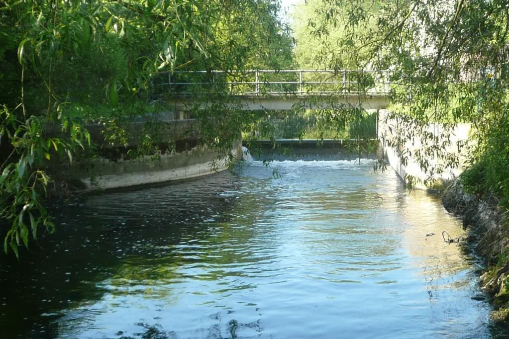
Having surveyed up to the weir, I've spent most of the past week or so exploring beyond it. The weir divides the river into two - the upper and lower ocks:
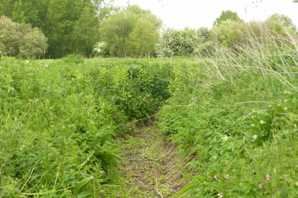
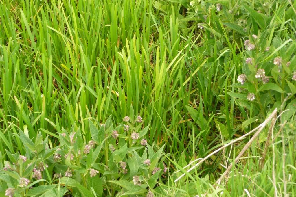
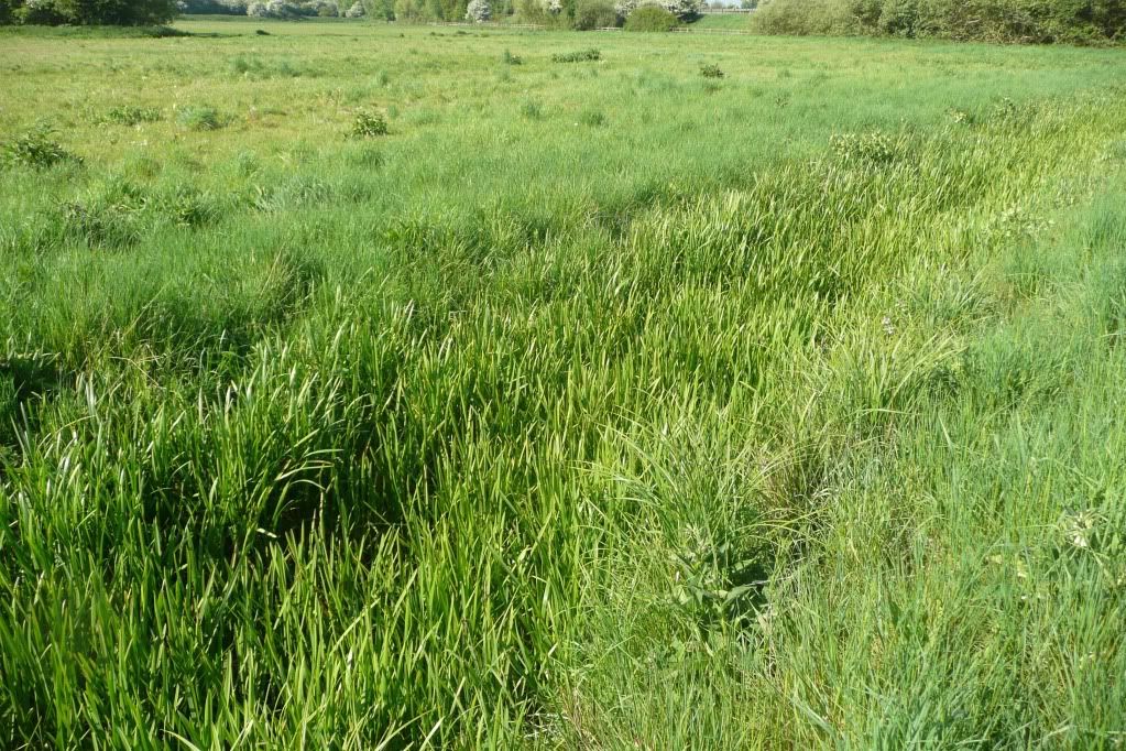
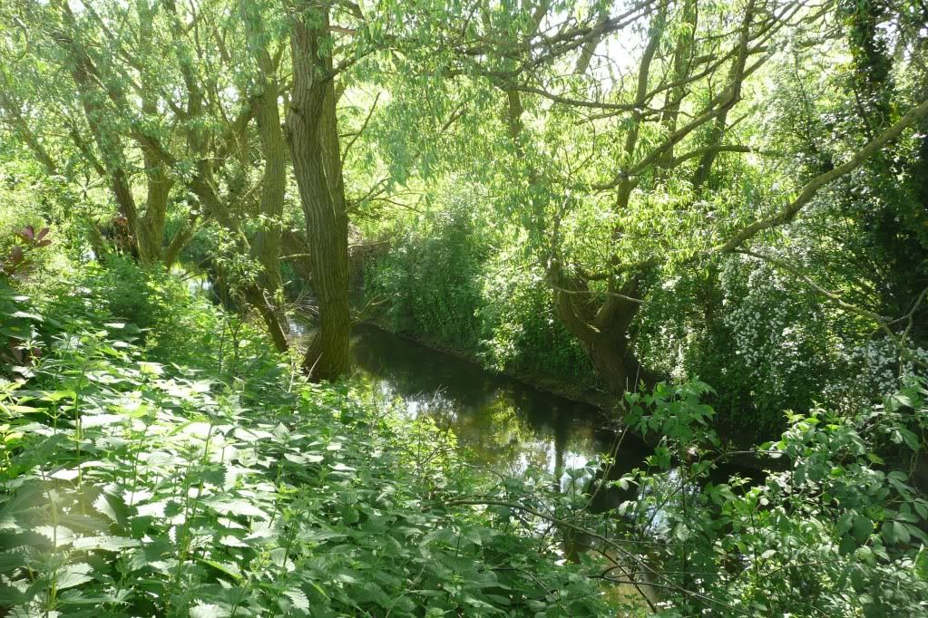
I haven't spent much time on the upper ock - it's proximity to the retail units, residential flats and the amount of undergrowth mean it can be difficult to gain access to the river banks
Plus I've thought of the weir as a natural barrier for the water voles to progress downstream (and for predators progress upstream).
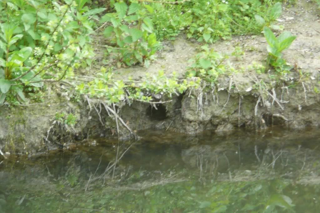
Still for the sake of completeness and to assist the BBOWT water vole survey I have spent the past couple of weeks surveying it.
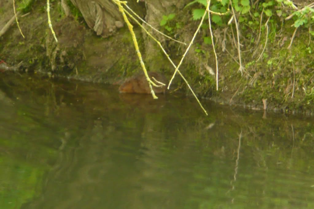
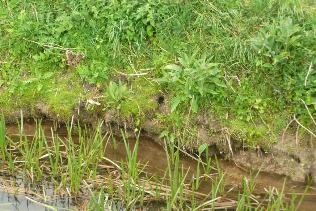
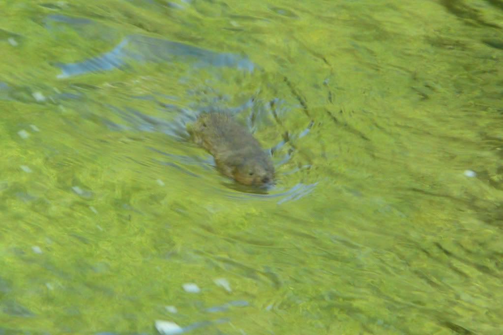
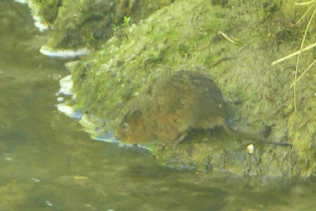
Although difficult to gain access to, thanks to the use of x40 digital zoom there do seem to water vole burrows

So the 2010 water vole map now contains these new sightings in blue. It also clearly shows weir and the proximity to the other sightings, so despite what I thought, the weir was no barrier at all.
View Water voles 2010 in a larger map