Tuesday, 29 June 2010

Away from the Ock...

Due to volcanic problems the proposed whale spotting in Iceland was changed to a week in the Tamar Valley in Cornwall.
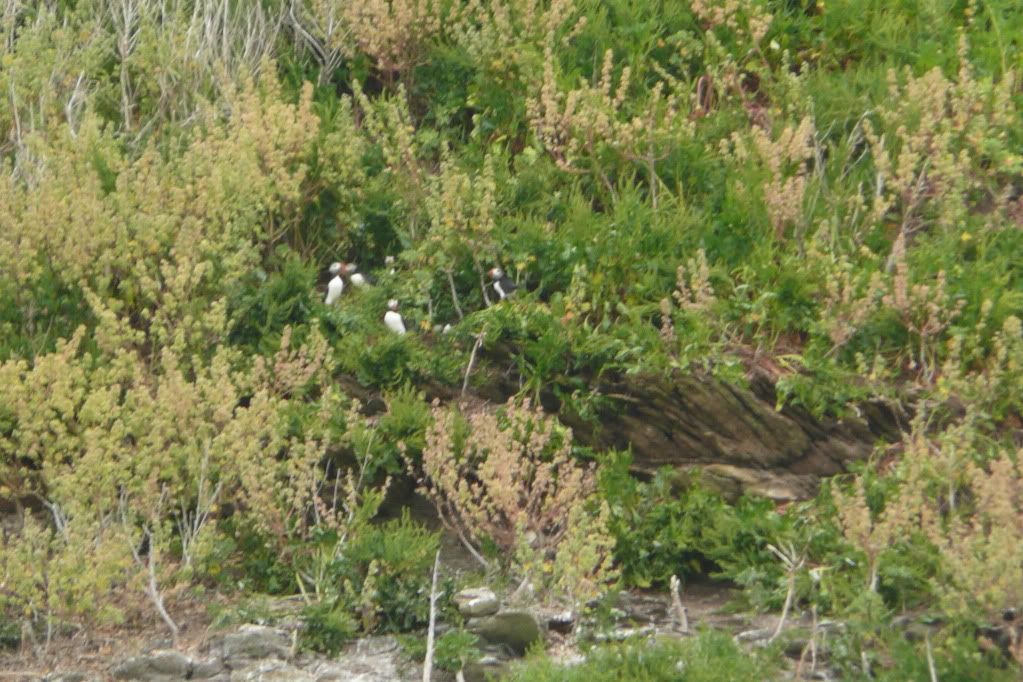
Despite the lack of whales there was still plenty of wildlife to be seen - dippers at golitha falls; skylarks singing over bodmin moor and puffins off the coast near padstow.  Actually 15% of the puffin population of 'puffin island' can be seen in this photograph.
.
.
Now back to Oxfordshire and reality - more water vole surveys, bumblebee surveys, himalayan balsam clearance (it's that time of year - again) and maybe further investigation into the otters. 

Wednesday, 16 June 2010

Water vole films

A selection of  films, recorded during the past few weeks whilst surveying for water voles:


As always, Terry Whittaker shows us how it should be done: http://terrywhittakerphoto.blogspot.com/2010/06/mill-stream-water-vole-updates.html

Thursday, 10 June 2010

Beyond the weir #2 - The lower Ock

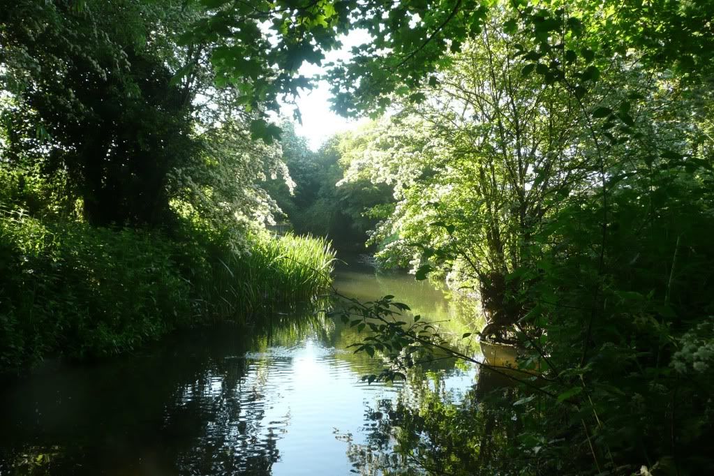
Tipped off by a dog walker, I've spent the past few weeks exploring the lower part of the Ock before it flows under Drayton road (where it eventually joins the upper part before flowing into the Thames)


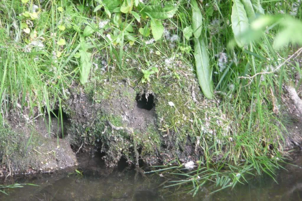
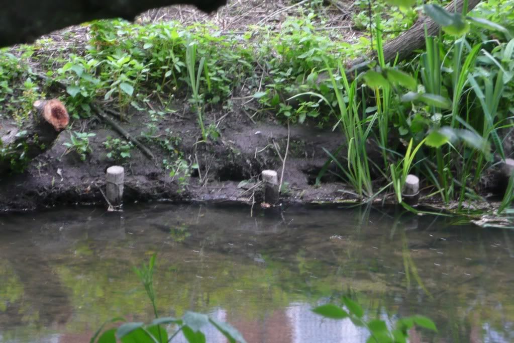
Unlike the upper Ock, it is easier to get close to the waters edge and there are definitely signs of water voles along the entire length.  Including lots of burrows:


With signs of feeding
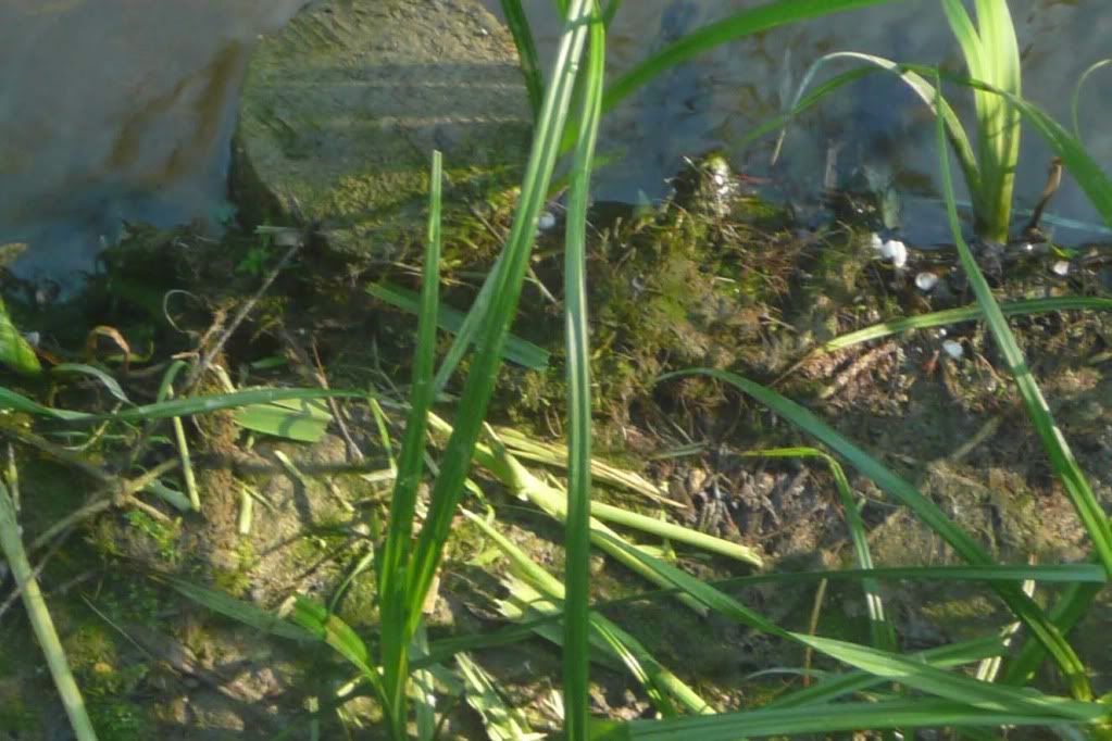
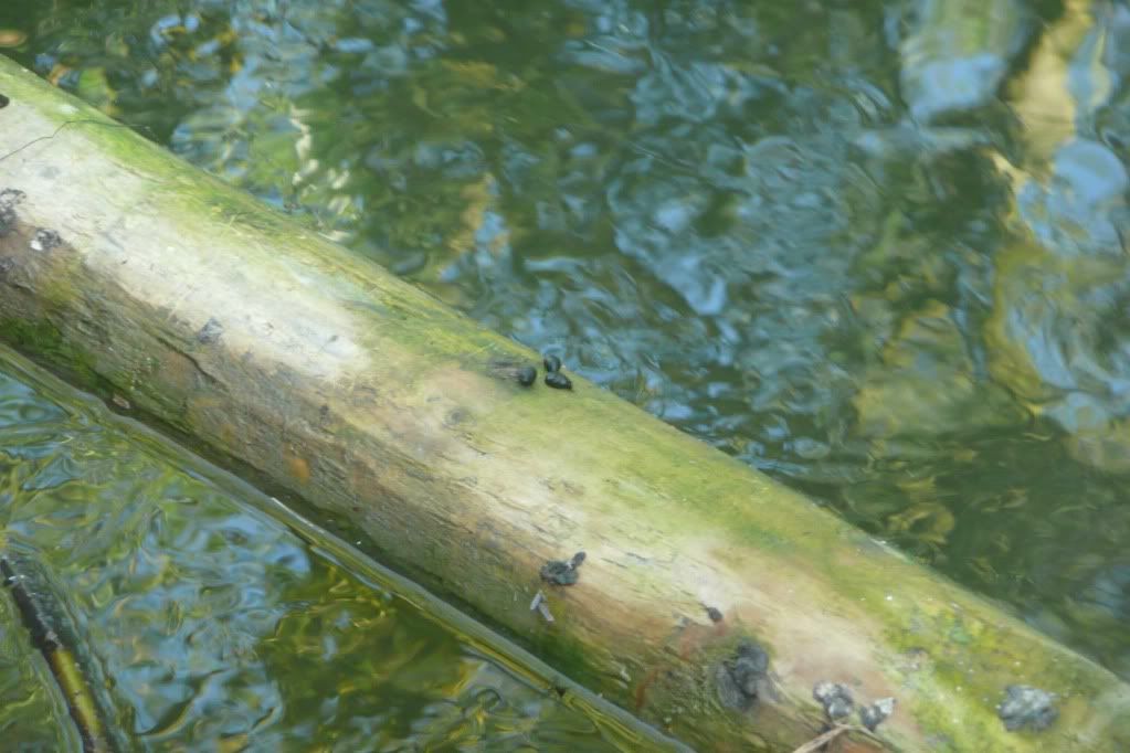
And what appear to be latrines - used, like lots of mammals, to mark the edge of territories.

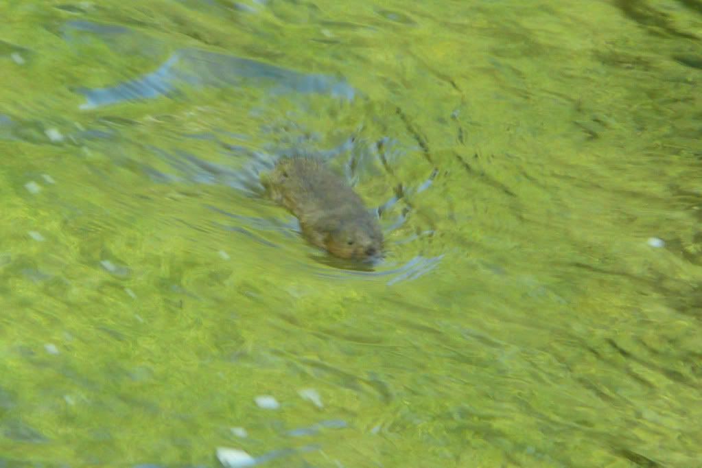
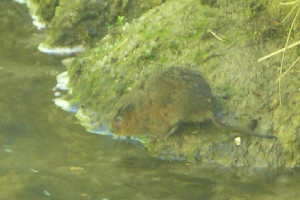
And eventually a few sightings, even if good pictures are somewhat hard to come by:


The water vole map is once again updated with these sightings:


View Water voles 2010 in a larger map

It seems that water voles have really established themselves on all parts of the river before the Drayton road bridge (this matches last years BBOWT surveys). It's strange to think that only as far back as 1998 surveys showed there were no water voles present in the river and now they are flourishing.
But as seen in Radley Brook, a water vole colony is a fragile thing and I've been asked to help with Mink monitoring further upstream, so hopefully we can preserve it for years to come.

Sunday, 6 June 2010

Meadows

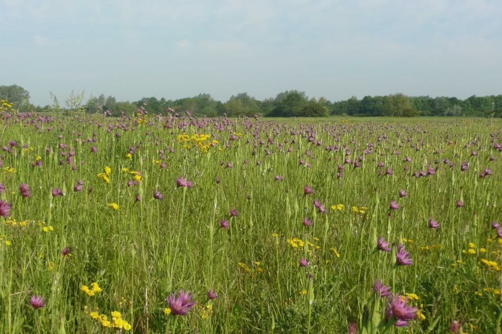
Either side of the river are the meadows who serve as the floodplain during winter. Yet  in summer they come alive in a diverse range of plants and is a splendid sight:


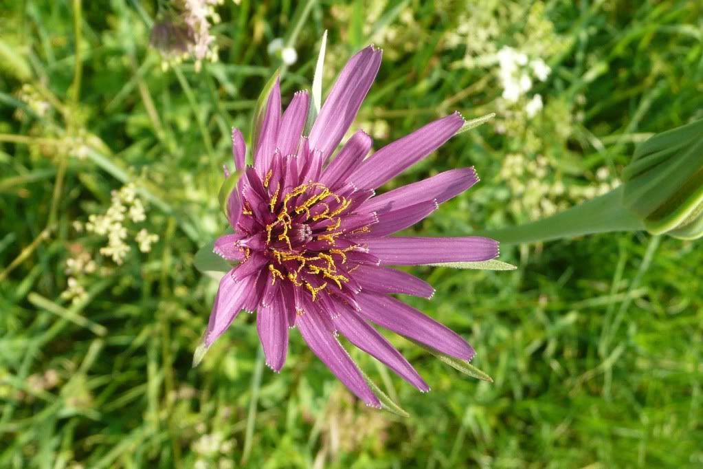
The purple plant is 'purple salsify' (it goes by other names including the 'oyster plant', due to the roots similar taste to oysters) and although abundant in the meadow it is not actually native to Europe, introduced sometime in the 16th Century:


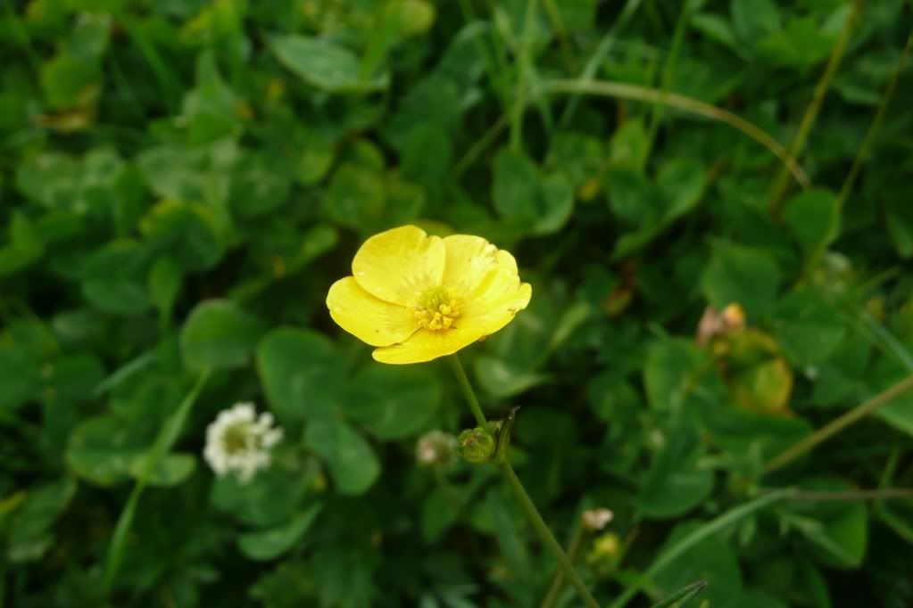
Several variants of buttercup are present, this one is possibly meadow buttercup. Like all types of buttercup it is poisonous and most grazing animals (including rabbits) leave it alone:


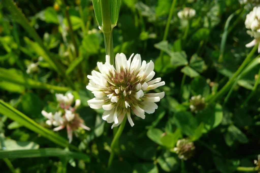
Another 'weed' and enemy of lawn obsessed gardeners  like my father is the 'white clover' and when left alone it can look rather attractive as well as being popular with bees:


Disclaimer: I'm not a botanist and the aforementioned identifications are based upon research through several books and the internet. If I've incorrectly identified something please let me know.

Saturday, 5 June 2010

Subimago

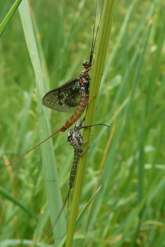
Although not as abundant, the mayfly are still flying (and being eaten).  Unlike other insects with aquatic early stages, the mayfly undergoes two stages of metamorphosis. 
The first stage is nymph becoming a subimago - winged  but is not yet mature version of it's adult form. The mayfly spends less than 24 hours as a subimago  before moulting for the last time and becoming an adult (the imago - an  adult insect).
It is this final stage that I was privileged to see by the river this morning:


Monday, 31 May 2010

Further along the upper Ock

It becomes increasingly difficult to get to see the upper Ock, but in places there are burrows, indicating water vole activity - but these may be extinct.


For confirmation of water voles in the areas it's latrines, feeding signs or an actual sighting that is required.  And it was a sighting from the bridge next to the Ock Mill pub and restaurant.  


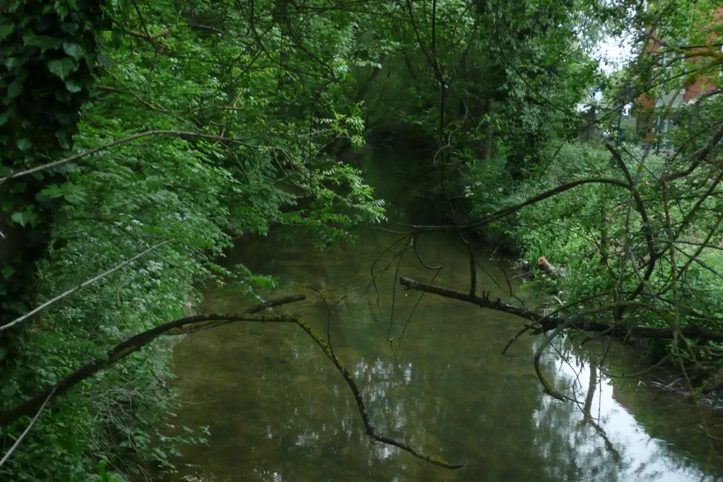
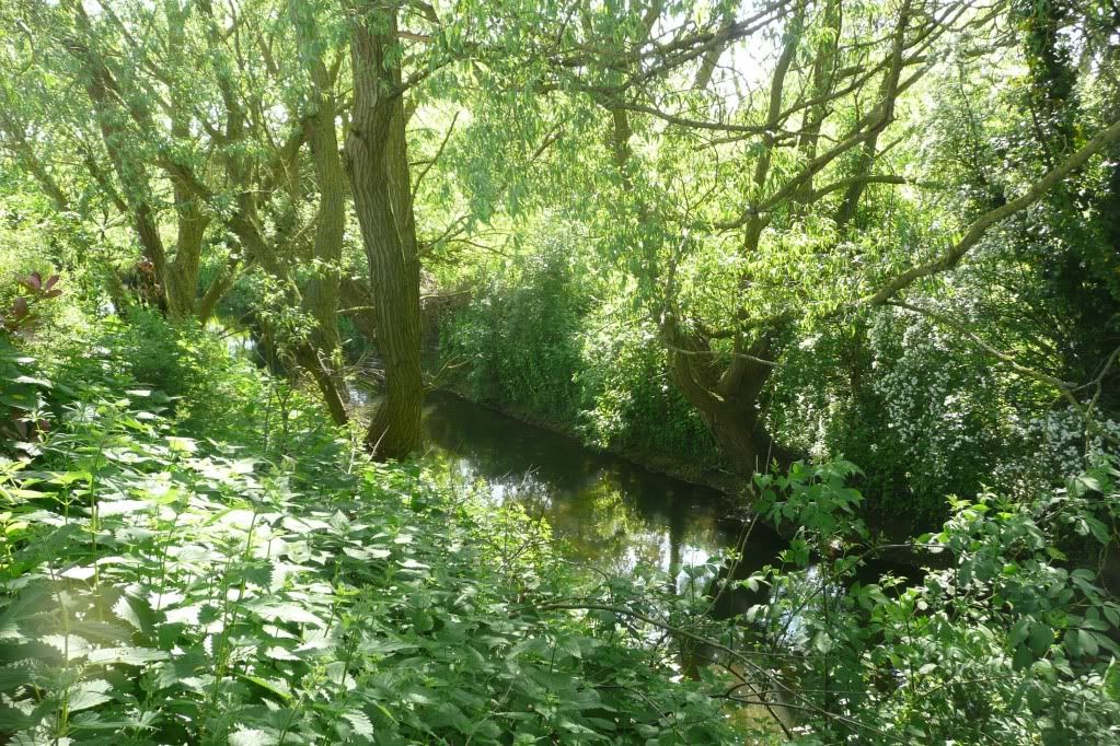
No picture of water voles this time, but another pin in the map.  As can be seen from, most of the upper Ock is has over hanging trees, but this doesn't seem to stop the water voles.


View Water voles 2010 in a larger map

Saturday, 29 May 2010

Beyond the weir #1 - The upper Ock

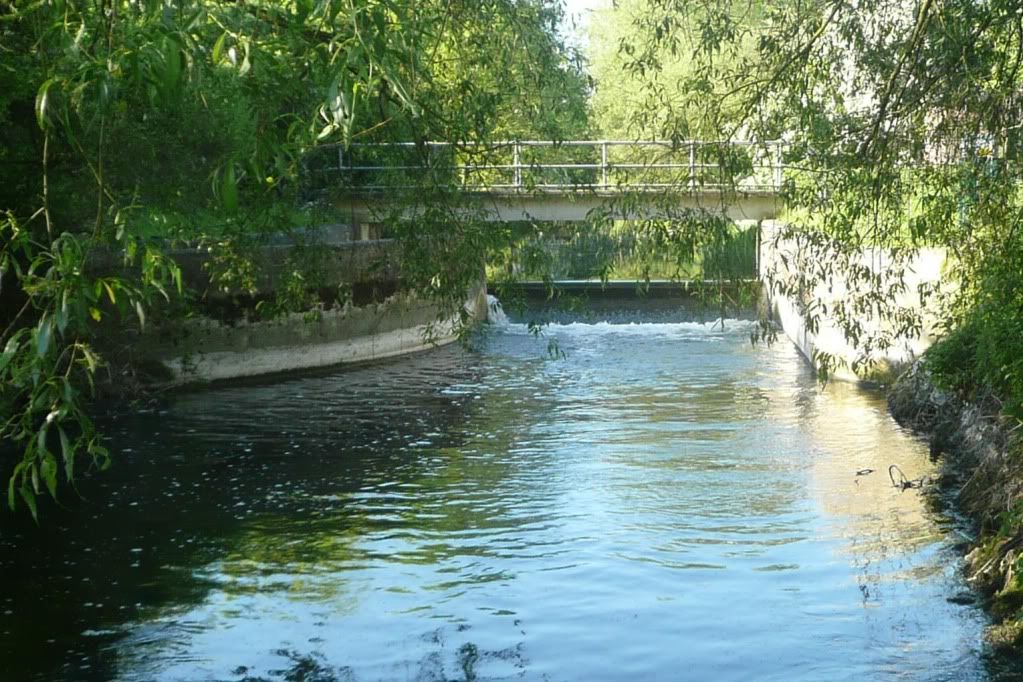
Having surveyed up to the weir, I've spent most of the past week or so exploring beyond it.  The weir divides the river into two - the upper and lower ocks:


I haven't spent much time on the upper ock - it's proximity to the retail units, residential  flats and the amount of undergrowth mean it can be difficult to gain access to the river banks  


Plus I've thought of the weir as a natural barrier for the water voles to progress downstream (and for predators progress upstream). 
Still for the sake of completeness and to assist the BBOWT water vole survey I have spent the past couple of weeks surveying it. 
Although difficult to gain access to, thanks to the use of x40 digital zoom there do seem to water vole burrows


Then on one evening, I saw two water voles - what seemed like a make pursuing a some what reluctant female - by the footbridge near the weir.


So the 2010 water vole map now contains these new sightings in blue.  It also clearly shows weir and the proximity to the other sightings, so despite what I thought, the weir was no barrier at all.


View Water voles 2010 in a larger map